New Awesome Sinister Shit By Google

Google, a large technology company, has quietly added some new features to its popular “Maps” site. Selected areas of the globe are now viewable as a collage of areal photos – presumably shot from low-flying light aircraft. The effect is to render towns and cities in a SimCity near-isometric view. Currently the feature is restricted to a few parts of California, which is great because it allows us to spin one of those flippant, hyperbolic correlations which you all come here for. The imagery has been heavily processed to reduce noise, so rooftops, pools, streets, and just about any expanse of uniform tonality have that pastey, pancaked-look which badly Photoshopped fashion models often suffer from. The effect is enhanced further by some pretty brutal JPEG compression, giving the Californian ’burbscape the lifted, botoxed-look of an ageing celebrity.

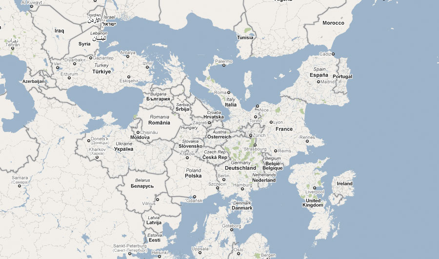
Also of note is the map rotation feature which allows you to turn everything on its head. This is a great step, and brings the idea of context-changing alternative mapping to the masses. What I’d like to see next are Buckminster Fuller’s dymaxion map projections, or Jack van Wijk’s award winning Myriahedral projections: